
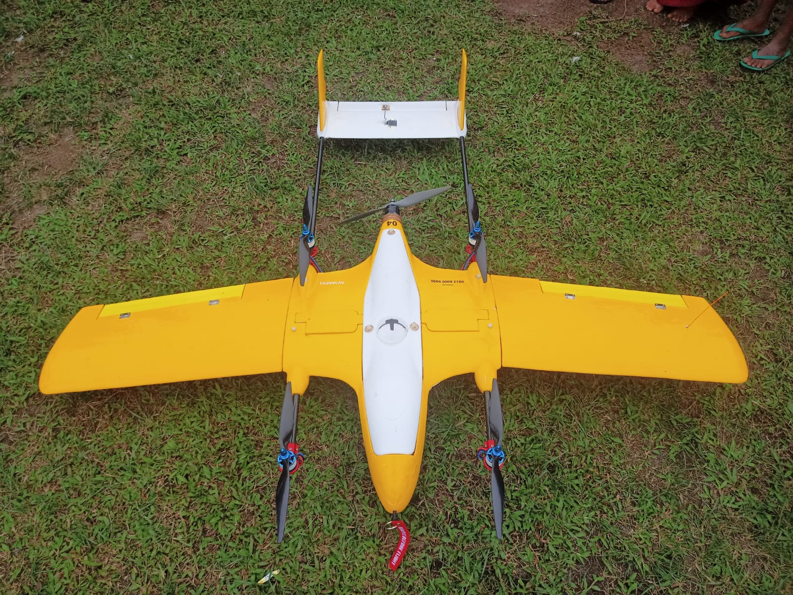
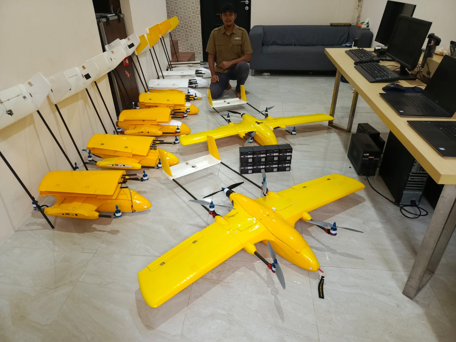
AVMAP - VTOL UAV for Mapping
SKU:
$9,900.99
$9,900.99
per item
AVMAP - VTOL UAV for Mapping
Ready for Mapping Activities
Vertical Take Off & Landing on 4 msq area
Flight Time : > 100 Minutes
Travel Distance : ~90 Km
Payload Weight Max : 600 gr
Mapping Speed : 60 Km/h
Mapping Camera : Sony Mirrorless 24 MP up to 42 MP with customized trigger mechanism by autopilot
Autopilot Navigation : Unlimited waypoint navigation fully automated take off, flight & landing
Dual Hybrid Battery : LiPo Battery for VTOL motor & Li-Ion Battery for Forward Flight motor
Telemetry Radio : Long Range Telemetry 433 Mhz with up to 15 Km distance communication
Travel Case : Hard case with wood, aluminum and steel reinforcement
Optional:
- Multispectral Imagery sensor (Micasense Camera - www.ageagle.com)
- PPK / RTK GNSS with Multi Frequency GPS Geodetic (Emlid Reach - www.emlid.com)